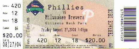
I fired up the ol’ scanner tonight, and first of all, since the other attendees have already seen their tickets:

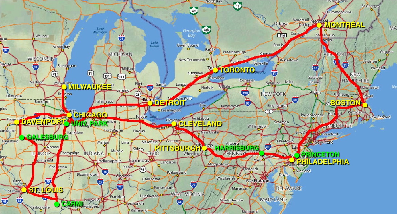
And this is the route map as it stands now. I have a feeling some portions may not be the AAA-approved routes, such as the “back way” to get to Yardley, Pennsylvania from the north (on U.S. 202 and state route 31), which involves going through some of the less smelly parts of New Jersey.

I’m sorry that my clumsy attempts to reduce the image size, not to mention my clumsy attempts to draw a line, made Mapquest’s beautiful cartography look like crap, but I’m not exactly working with the Adobe Creative Suite here. (This is the non-online, made-from-dead-trees 2004 Mapquest “Routemaster” spiral-bound road atlas we’re looking at, just in case you’re wondering why Mapquest.com doesn’t look that good when you use it.)